La Niña, which contributed to extreme weather around the globe during the first half of 2011, has re-emerged in the tropical Pacific Ocean and is forecast to gradually strengthen and continue into winter. Today, forecasters with NOAA’s Climate Prediction Center upgraded last month’s La Niña Watch to a La Niña Advisory.
NOAA will issue its official winter outlook in mid-October, but La Niña winters often see drier than normal conditions across the southern tier of the United States and wetter than normal conditions in the Pacific Northwest and Ohio Valley
A link for the complete outlook is included below:
NOAA’s Climate Prediction Center: La Niña is back
EL NIÑO/SOUTHERN OSCILLATION (ENSO) DIAGNOSTIC DISCUSSION
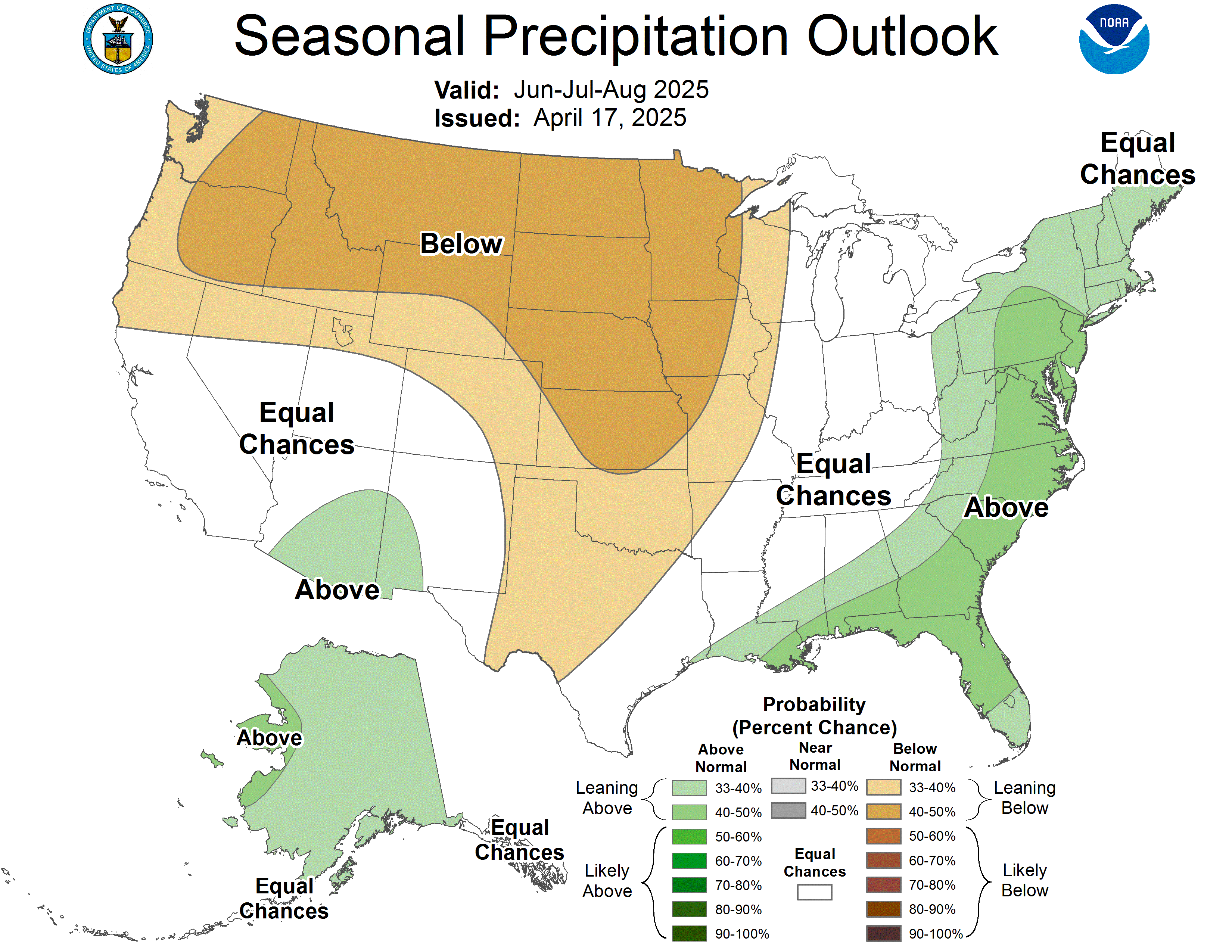
Now to the good NEWS. The outlook for Nov/Dec/Jan included below shows above average precipitation early in the winter:
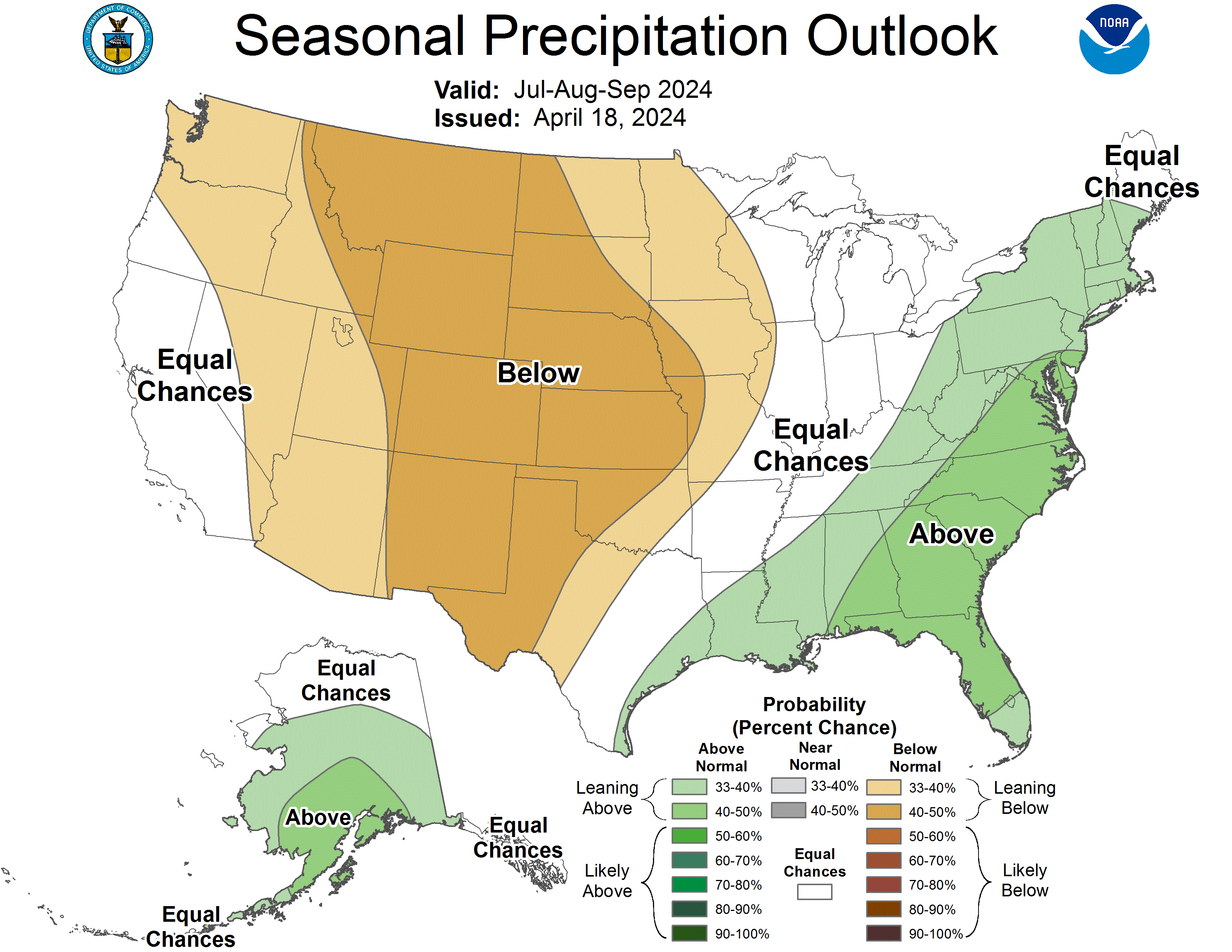
A similar trend is also present for the middle of the winter (Dec/Jan/Feb 2011):
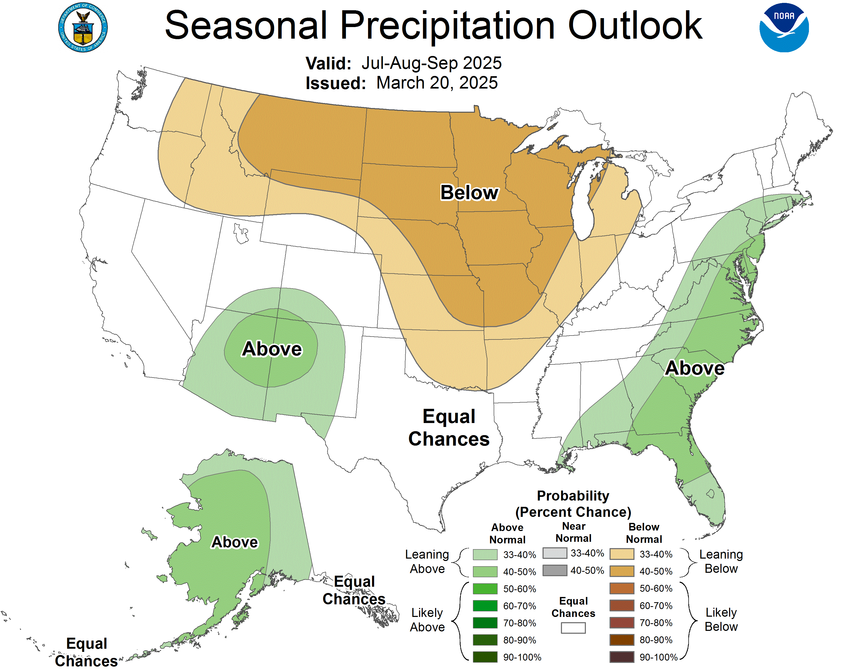
The precipitation mellows down later in the winter (Jan/Feb/March 2012):
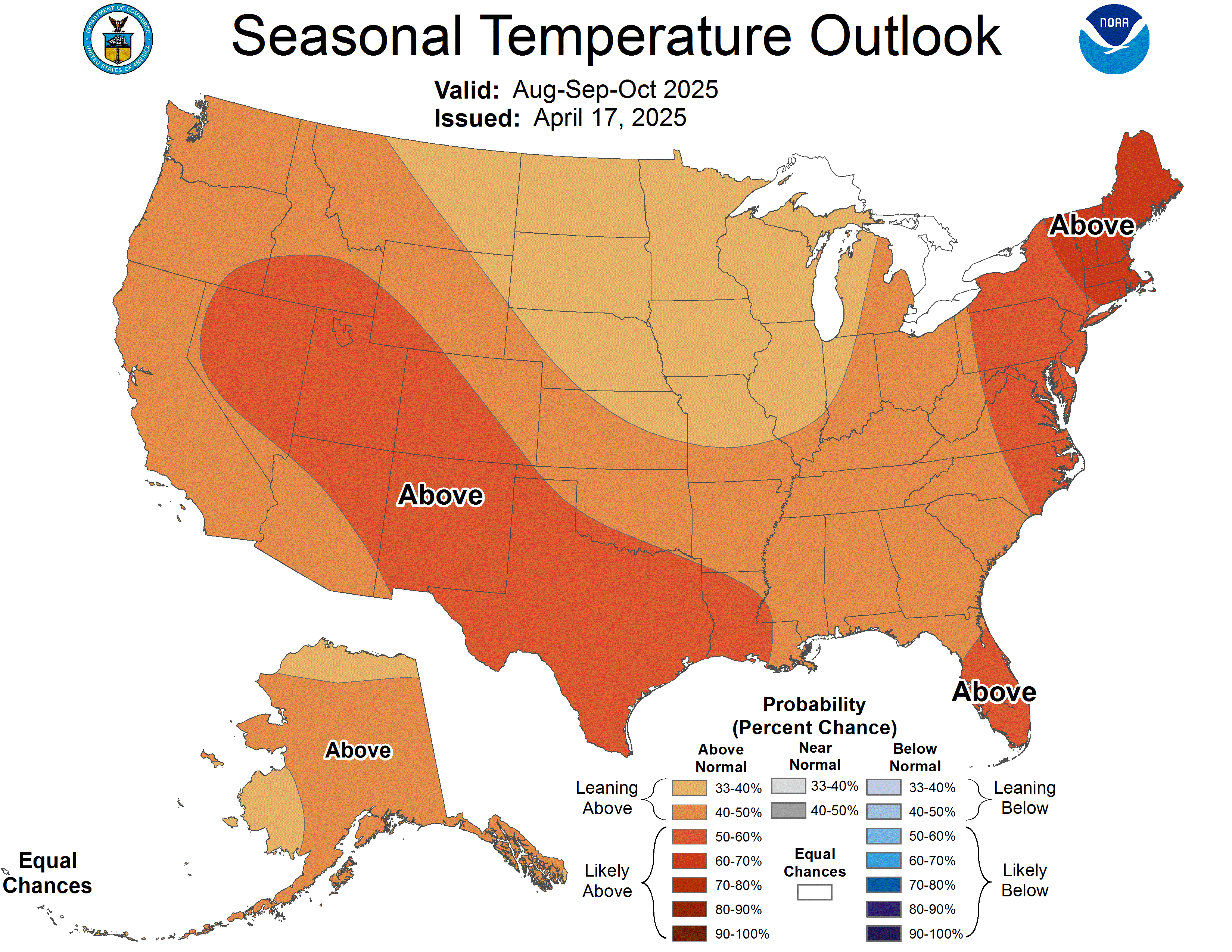
In addition the temps for early winter are expected to be average, but by mid winter (Jan/Feb/March 2012) the temps are expected to be below average:
So in our area, La Niña will be driving probability of higher precipitation and lower temperatures. These charts can also be found with probability values at:
EXPERIMENTAL TWO-CLASS SEASONAL FORECASTS
As we get closer to winter, there will be additional information related to climatological trends. Particularly on the strength of La Niña event.
Chago


