The next video is long. I recognize I am a terrible video editor, and it was hard to cut what looks to me like pretty good pow skiing. Pedro and I took turns with the GoPro camera. Enjoy it.
Early in March we had another pow ski day: http://www.morescreeksummit.com/2014/03/great-start-for-march-2014-pow-skiing.html but the snowpack structure did not gave us confidence to ski lines above 35 degrees in steepness. Similarly, Thursday snowpack structure provided us with evidence of instability and limited our skiing to lines below 35 degrees in steepness. The next pics illustrates cracking of a soft slab above fragile near surface facets with rimmed precipitation particles from the early part of the storm.


It snowed for most of the day, augmenting the snowpack depth by 10 cms by day end. Too bad we could not count with our usual cooler weather to preserve the good snow!
 |
| Pedro and falling snowflakes (not google pics simulated!) |
The best skiing could be found at treed and open meadows that protected the snow from strong south easterly winds.

 |
| Pedro skiing the pow |
 |
| Pedro skiing the pow |
 |
| Pow slopes! |
 |
| Summit Creek |
 |
| Walking back to the car along I21. |
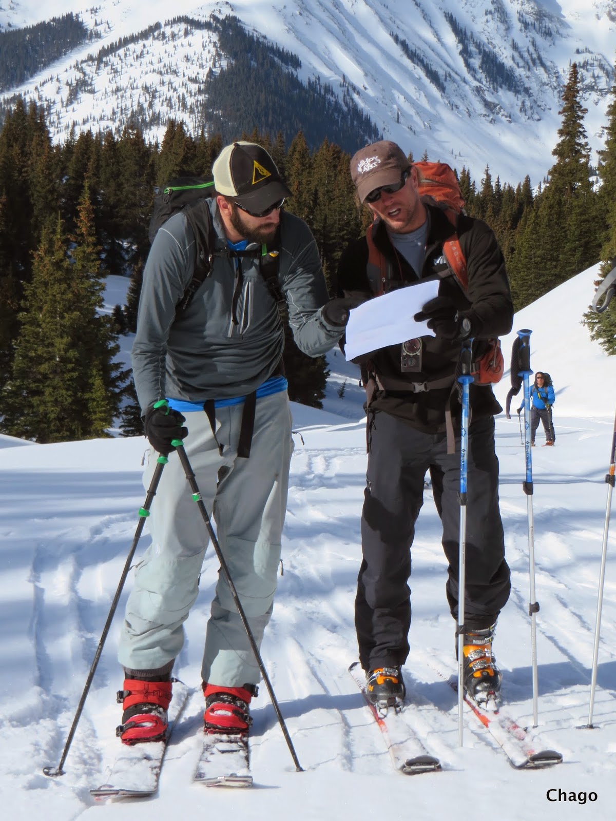
The later part of March Pedro and I spent it at Silverton Colorado teaching a Silverton Avalanche School Avalanche Level 2 course. In addition we spend time with Chris Landry from the Center for Snow & Avalanche Studies coordinating the near future installation of three miniFMCW radars developed by Pedro and I.
Below few assorted pics from this year Silverton Avalanche School Avi l2 course. Please feel free to contact Jim Donovan at Silverton Avalanche School (SAS) if you are interested in participating in their courses, or better - if you want to be part of next year SAS AVI L2 courses with me and Pedro. Space is limited. In addition, there are a number of new didactical techniques recently developed by us that allow to cut the classroom time to half day for SAS Hut based courses. This leaves 3.5 days for field work! And, Red Mountain Pass in Colorado with its complex and variable snowpack typical of high elevations provides ideal terrain and snowpack for learning snow science and advanced travel techniques.